VELVET RIDGE | HELL'S HOLE
TRAIL PAGE LINKS
Angel Point Trail
Blarney Trail
Blue Benches
Bull Creek Pass
Burro Wash East
Burro Wash Trail
Cathedral Valley
Cooks Mesa
Cottonwood Wash Trail
Curtis Bench
Dark Valley Trail
Donkey Reservoir
Five Mile Wash
Fremont River Trail
Geyser Peak
Great Western Trail
Hemlock Meadows
Horseshoe Canyon
Leprechaun Trail
Little Wild Horse Trail
Lower Bowns / Oak Creek Trail
Moonscapes and Goblins
Mt. Ellen
North Caineville Mesa
North Slope
Planets to the Past
Pleasant Creek Trail
Poison Spring
Robber’s Roost Trail
Sam’s Mesa Trail
Sheets Gultch Trail
Shillelagh Trail
South Caineville Mesa
Sunglow Trail
Swing Arm City
Tantalus Flats
Thousand Views Trail
Tidwell Slopes
Velvet Ridge / Hell’s Hole
LOCATION
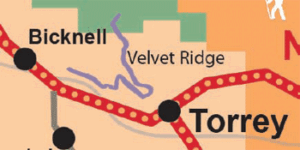
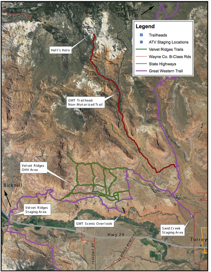
Both the Velvet Ridge and Sand Creek staging areas are located off Highway 24 between Bicknell and Torrey.
TRAIL TYPE
This is an ATV and bicycle trail. They are the same path so be aware of other people.
DISTANCE
From the Velvet Ridge staging area the trail is 19 miles round trip. From the Sand Creek staging area it is a similar distance depending on what you do in the ATV/OHV recreation area.
DIFFICULTY
MODERATE – There are a couple of spots that are a little difficult, but are still passable. The last mile to Hell’s Hole is extreme.
TRAIL DESCRIPTION
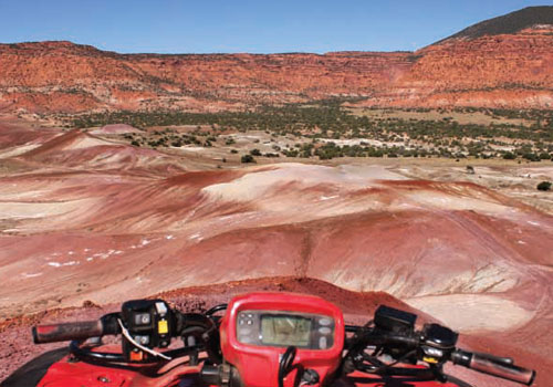
The trail mostly consists of abrasive bennoite and loose red rock. Towards Hell’s Hole the trail gets sandy.
TRAIL COORDINATES / POINTS OF INTEREST
| Name | GPS | Latitude | Longitude |
| Sand Creek Trailhead | N 38d18’38” W 111d25’59” | 38.310556 | -111.433056 |
| Hell’s Hole Trail | N 38d19’41” W 111d26’26” | 38.328056 | -111.440556 |
| Velvet Ridges Trailhead | N 38d18’37” W 111d31’04” | 38.310278 | -111.517778 |
| Great Western Trail Overlook | N 38d18’41” W 111d27’54” | 38.311389 | -111.465 |
EQUIPMENT
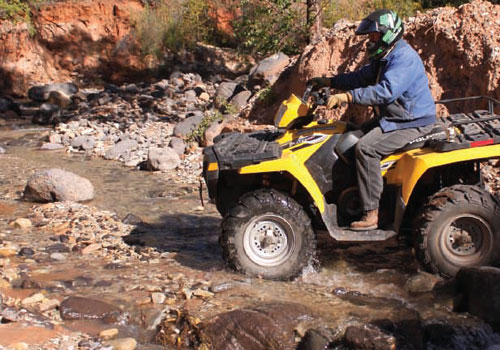
This trail has been designated for ATV and mountain bikes.
ENVIRONMENT
The weather varies greatly and will affect the trail conditions greatly. Be sure to check the Visitors Center before heading out.
SAFETY
Make sure to wear proper equipment especially on the Ridge, because the surface is so unsteady.
TRAIL TIP
Be sure to always wear the proper equipment. Because this trail is shared with other kinds of travelers, it is important for you to be safe and to consider the safety or others.
| Title | Category | Address | Description | Link |
|---|
Take in the Views
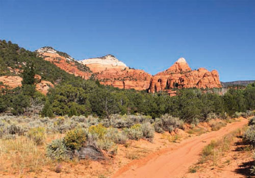
Once you have entered Hell’s Hole, you can explore the entire area on foot.The Hell’s Hole area is filled with rock formations that are ideal for walking and climbing. The elevation at Hell’s Hole is 8650 ft.
Get a Closer Look
View the listed coordinates for different points of interest along the trail.
Do it at Your Own Pace
TRAILS MASTER MAP
| Title | Category | Address | Description | Link |
|---|
Other Trail Pages
