NORTH CAINEVILLE MESA
TRAIL PAGE LINKS
Angel Point Trail
Blarney Trail
Blue Benches
Bull Creek Pass
Burro Wash East
Burro Wash Trail
Cathedral Valley
Cooks Mesa
Cottonwood Wash Trail
Curtis Bench
Dark Valley Trail
Donkey Reservoir
Five Mile Wash
Fremont River Trail
Geyser Peak
Great Western Trail
Hemlock Meadows
Horseshoe Canyon
Leprechaun Trail
Little Wild Horse Trail
Lower Bowns / Oak Creek Trail
Moonscapes and Goblins
Mt. Ellen
North Caineville Mesa
North Slope
Planets to the Past
Pleasant Creek Trail
Poison Spring
Robber’s Roost Trail
Sam’s Mesa Trail
Sheets Gultch Trail
Shillelagh Trail
South Caineville Mesa
Sunglow Trail
Swing Arm City
Tantalus Flats
Thousand Views Trail
Tidwell Slopes
Velvet Ridge / Hell’s Hole
LOCATION
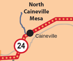
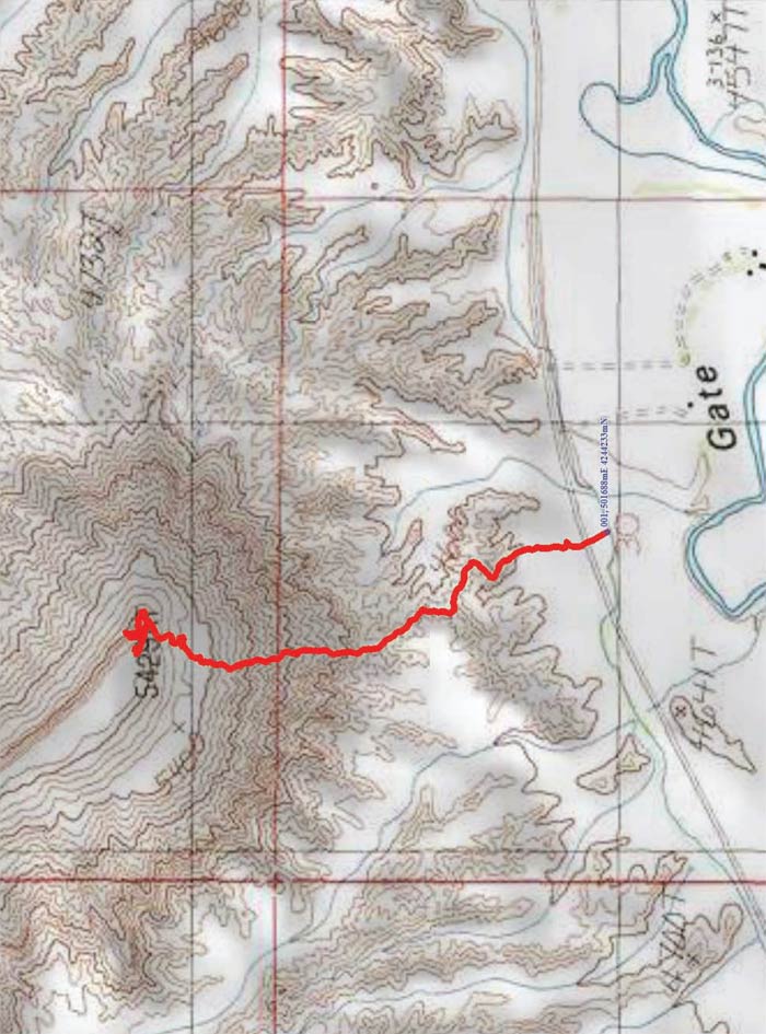
Park your vehicle on the south side of the road and walk across the Highway 24 past the old cement truck. The trail begins straight north at the base of the closest grey foothill.
TRAIL TYPE
This is a short hike that is steep in all directions.
DISTANCE
This trail is just over a mile long, (1.8 km). The trailhead elevation is 4542 ft. and rises +1200 ft.
DIFFICULTY
HARD – This trail is difficult and should not be undertaken if you are not physically fit.
TRAIL DESCRIPTION
This trail is mostly rocky with some sandy parts.
TRAIL COORDINATES / POINTS OF INTEREST
| Name | GPS | Latitude | Longitude |
| North Caineville Mesa | 38.346469 | -110.981097 |
EQUIPMENT
No extra equipment is required to complete this trail.
ENVIRONMENT
Pay attention to the weather reports, and if the weather is good, this hike is great year round.
SAFETY
Because of the steep incline it will be safer to do this hike were it nice weather as parts of the trail can be slippery in the rain or snow.
TRAIL TIP
The most beautiful time of day to hike this is early morning.
| Title | Category | Address | Description | Link |
|---|
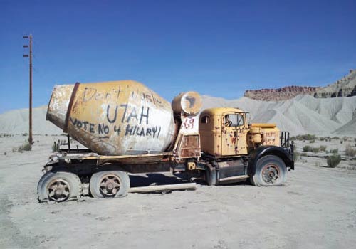
Take in the Views
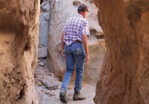
Get a Closer Look
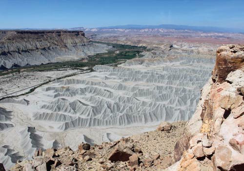
Do it at Your Own Pace
TRAILS MASTER MAP
| Title | Category | Address | Description | Link |
|---|
Other Trail Pages


