FREMONT RIVER TRAIL
TRAIL PAGE LINKS
Angel Point Trail
Blarney Trail
Blue Benches
Bull Creek Pass
Burro Wash East
Burro Wash Trail
Cathedral Valley
Cooks Mesa
Cottonwood Wash Trail
Curtis Bench
Dark Valley Trail
Donkey Reservoir
Five Mile Wash
Fremont River Trail
Geyser Peak
Great Western Trail
Hemlock Meadows
Horseshoe Canyon
Leprechaun Trail
Little Wild Horse Trail
Lower Bowns / Oak Creek Trail
Moonscapes and Goblins
Mt. Ellen
North Caineville Mesa
North Slope
Planets to the Past
Pleasant Creek Trail
Poison Spring
Robber’s Roost Trail
Sam’s Mesa Trail
Sheets Gultch Trail
Shillelagh Trail
South Caineville Mesa
Sunglow Trail
Swing Arm City
Tantalus Flats
Thousand Views Trail
Tidwell Slopes
Velvet Ridge / Hell’s Hole
LOCATION
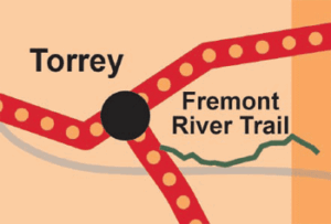
This trail is located 3 miles south of Torrey on the east side of Scenic Byway 12.
TRAIL TYPE
This is a hiking only trail.
DISTANCE
The distance of this trail is 2.5 miles.
DIFFICULTY
EASY – This trail is easy, but can be made difficult if you leave the trail.
TRAIL DESCRIPTION
The trail surface is hard dirt and rock. The rock is hard but crumbles and this makes parts of the trail a rough gravel.
TRAIL COORDINATES / POINTS OF INTEREST
| Name | GPS | Latitude | Longitude |
| Fremont River Trail | 38.270018 | -111.375575 |
EQUIPMENT
No extra equipment is requred to do this trail, unless you want go fishing.
ENVIRONMENT
The weather is generally good, but rain would make the trail more difficult.
SAFETY
There is more wildlife in this area due to the water so be aware of the animals and try not to disturb them.
TRAIL TIP
The best time of day to do this trail would be early daylight, or just before the sun is setting.
| Title | Category | Address | Description | Link |
|---|
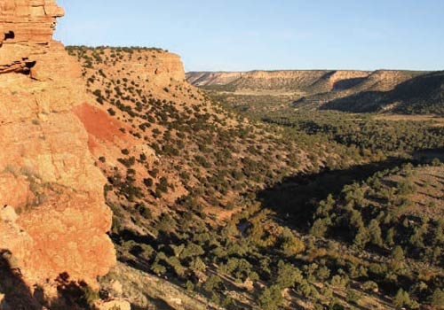
Take in the Views
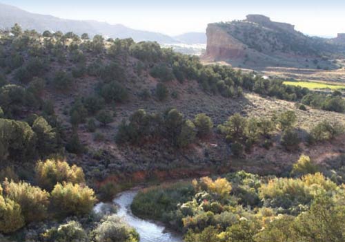
Get a Closer Look
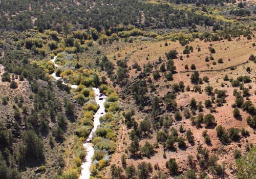
Do it at Your Own Pace
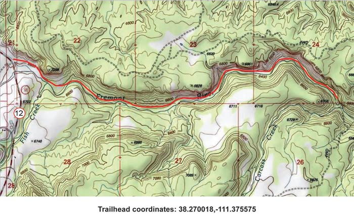
TRAILS MASTER MAP
| Title | Category | Address | Description | Link |
|---|
Other Trail Pages
