LOWER BOWNS | OAK CREEK
TRAIL PAGE LINKS
Angel Point Trail
Blarney Trail
Blue Benches
Bull Creek Pass
Burro Wash East
Burro Wash Trail
Cathedral Valley
Cooks Mesa
Cottonwood Wash Trail
Curtis Bench
Dark Valley Trail
Donkey Reservoir
Five Mile Wash
Fremont River Trail
Geyser Peak
Great Western Trail
Hemlock Meadows
Horseshoe Canyon
Leprechaun Trail
Little Wild Horse Trail
Lower Bowns / Oak Creek Trail
Moonscapes and Goblins
Mt. Ellen
North Caineville Mesa
North Slope
Planets to the Past
Pleasant Creek Trail
Poison Spring
Robber’s Roost Trail
Sam’s Mesa Trail
Sheets Gultch Trail
Shillelagh Trail
South Caineville Mesa
Sunglow Trail
Swing Arm City
Tantalus Flats
Thousand Views Trail
Tidwell Slopes
Velvet Ridge / Hell’s Hole
LOCATION
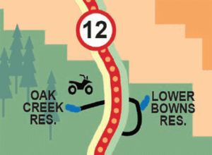
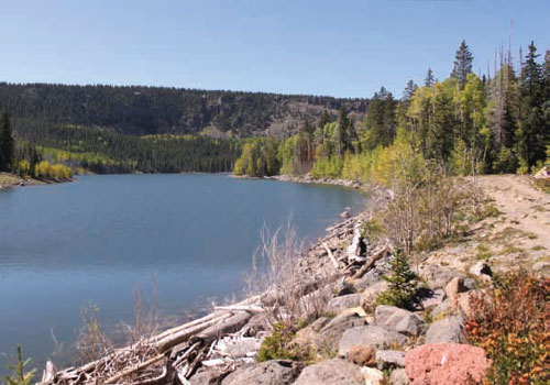
This trail is located just off Scenic Byway 12 between the Lower Bowns and Oak Creek Reservoirs.
TRAIL TYPE
All motorized vehicles and bicycle. No loop, just different trails to explore.
DISTANCE
There is not a total specific distance for this trail but the distances for individual ones are on the next page.
DIFFICULTY
MODERATE – There is rough terrain on the way to Oak Creek Reservoir, weather may create other challenges, that will make the trail more difficult.
TRAIL DESCRIPTION
Elevations: Rosebud Trail Head: 8,600, Lower Bowns Reservoir: 7,400, Oak Creek Reservoir: 10,100
TRAIL COORDINATES / POINTS OF INTEREST
| Name | GPS | Latitude | Longitude |
| Oak Creek Reservoir | N 38d04’26” W 111d22’09” | 38.073889 | -111.369167 |
| High Ranger Trailhead | N 38d04’37” W 111d22’03” | 38.076944 | -111.3675 |
| Pleasant Creek Campground | N 38d06’07” W 111d20’13” | 38.101944 | -111.336944 |
| Rosebud ATV Trailhead | N 38d05’52” W 111d20’09” | 38.097778 | -111.335833 |
| Lower Bowns Campground | N 38d06’20” W 111d16’39” | 38.105556 | -111.2775 |
| Trailhead at Lower Bowns | N 38d06’14” W 111d16’33” | 38.103889 | -111.275833 |
| Oak Creek Campground | N 38d05’23” W 111d20’29” | 38.089722 | -111.341389 |

EQUIPMENT
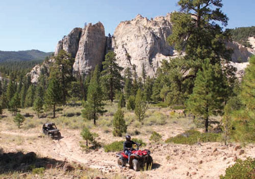
This trail has been designed for ATV, Jeep, 4WD, truck, or bicycle. Some areas are for non-motorized only.
ENVIRONMENT
This trail is only open from May to October, weather permitting in the early and later months.
SAFETY
Pay attention to the trail markers because some areas are restricted to motorized vehicles. Follow the rules of the trail and keep everyone safe.
TRAIL TIP
If you are planning to camp or picnic along the trail, be sure to take out everything that you take in, including garbage. Pack your food in a place and a way so as not to attract unwanted wildlife.
| Title | Category | Address | Description | Link |
|---|

Take in the Views
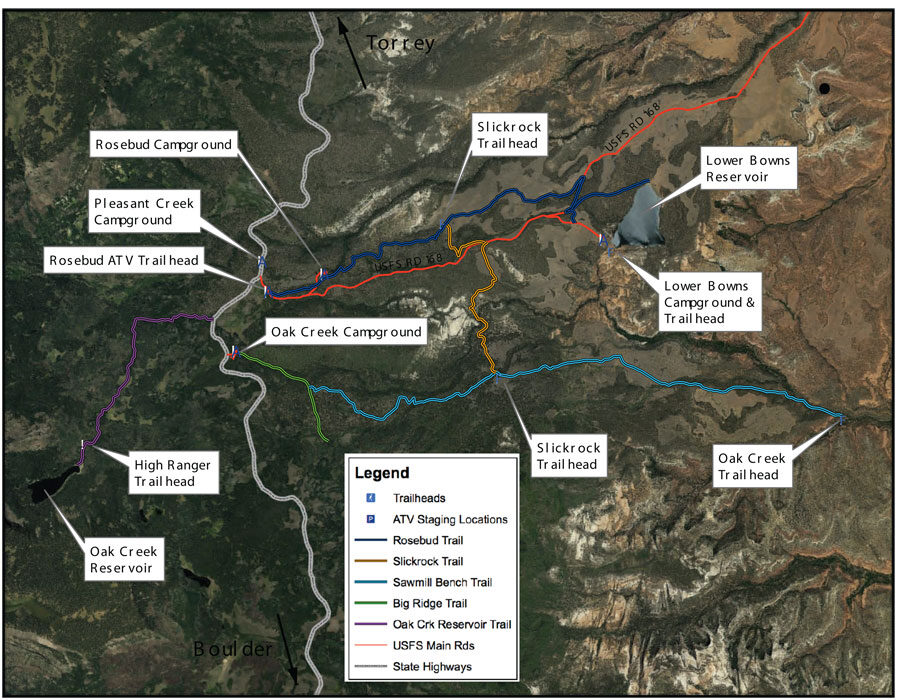
There are camping facilities at Oak Creek, Rosebud, Pleasant Creek, and Lower Bowns. All the campgrounds are really nice and well kept. The Rosebud Campground considered mostly an ATV campground, other than that, they are open to everyone. Take a few days and enjoy the beauty of the area.

Get a Closer Look
- 2.1 Miles – Rosebud ATV Trailhead to Slickrock ATV Trail Junction
- 3.7 Miles – Rosebud ATV Trailhead to USFS Road 168
- 4.0 Miles – Rosebud ATV Trailhead to Lower Bowns Reservoir Trails
- 1.7 Miles – USFS Road 169 to Sawmill Bench Trail
- 2.5 Miles – Highway 12 to Oak Creek Reservoir

TRAILS MASTER MAP
| Title | Category | Address | Description | Link |
|---|
Other Trail Pages


