MT. ELLEN
TRAIL PAGE LINKS
Angel Point Trail
Blarney Trail
Blue Benches
Bull Creek Pass
Burro Wash East
Burro Wash Trail
Cathedral Valley
Cooks Mesa
Cottonwood Wash Trail
Curtis Bench
Dark Valley Trail
Donkey Reservoir
Five Mile Wash
Fremont River Trail
Geyser Peak
Great Western Trail
Hemlock Meadows
Horseshoe Canyon
Leprechaun Trail
Little Wild Horse Trail
Lower Bowns / Oak Creek Trail
Moonscapes and Goblins
Mt. Ellen
North Caineville Mesa
North Slope
Planets to the Past
Pleasant Creek Trail
Poison Spring
Robber’s Roost Trail
Sam’s Mesa Trail
Sheets Gultch Trail
Shillelagh Trail
South Caineville Mesa
Sunglow Trail
Swing Arm City
Tantalus Flats
Thousand Views Trail
Tidwell Slopes
Velvet Ridge / Hell’s Hole
LOCATION
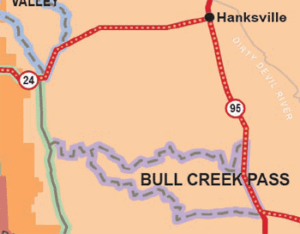
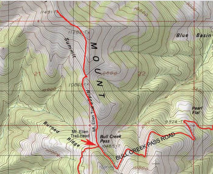
The trailhead is located in the parking lot at the top of the Bull Creek Pass trail.
TRAIL TYPE
This trail is hiking only. In order to reach the trail head you must follow the Bull Creek Trail in a vehicle.
DISTANCE
This trail is is 5 miles round trip from the Bull Creek Pass parking lot to the summit and back.
DIFFICULTY
HARD – This hike is difficult. It is very steep and rocky.
TRAIL DESCRIPTION
The trail goes in and out of visibility at some points but the trail is easily followed.
TRAIL COORDINATES / POINTS OF INTEREST
| Name | GPS | Latitude | Longitude |
| Mt. Ellen | 38.108889 | -110.813333 |
EQUIPMENT
This trail is for hiking only.
ENVIRONMENT
This trail is only open from May to November due to snow.
SAFETY
The weather can great affect the safety of the trail. Be sure to be aware of the weather conditions and be prepared for any changes.
TRAIL TIP
Be sure to pack out what you pack in, especially if you are staying overnight. It is important that Mt. Ellen stay free of litter to maintain its natural beauty.
| Title | Category | Address | Description | Link |
|---|
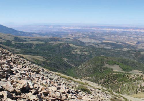
Take in the Views
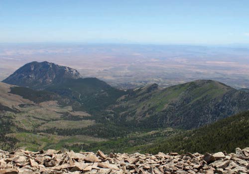
Get a Closer Look
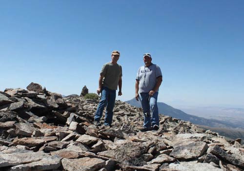
Do it at Your Own Pace
TRAILS MASTER MAP
| Title | Category | Address | Description | Link |
|---|
Other Trail Pages
