GEYSER PEAK
TRAIL PAGE LINKS
Angel Point Trail
Blarney Trail
Blue Benches
Bull Creek Pass
Burro Wash East
Burro Wash Trail
Cathedral Valley
Cooks Mesa
Cottonwood Wash Trail
Curtis Bench
Dark Valley Trail
Donkey Reservoir
Five Mile Wash
Fremont River Trail
Geyser Peak
Great Western Trail
Hemlock Meadows
Horseshoe Canyon
Leprechaun Trail
Little Wild Horse Trail
Lower Bowns / Oak Creek Trail
Moonscapes and Goblins
Mt. Ellen
North Caineville Mesa
North Slope
Planets to the Past
Pleasant Creek Trail
Poison Spring
Robber’s Roost Trail
Sam’s Mesa Trail
Sheets Gultch Trail
Shillelagh Trail
South Caineville Mesa
Sunglow Trail
Swing Arm City
Tantalus Flats
Thousand Views Trail
Tidwell Slopes
Velvet Ridge / Hell’s Hole
LOCATION
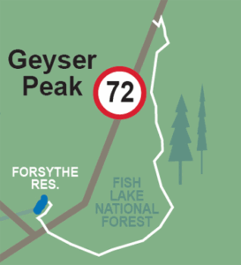
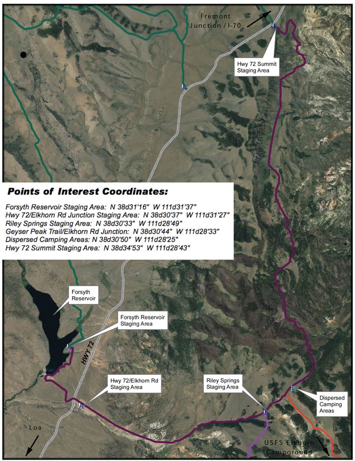
This trail can begin just off Highway 72 at Forsyth Reservoir (west side) or three miles up the road east from Forsyth Reservoir where there is also a trail head at Riley Springs.
TRAIL TYPE
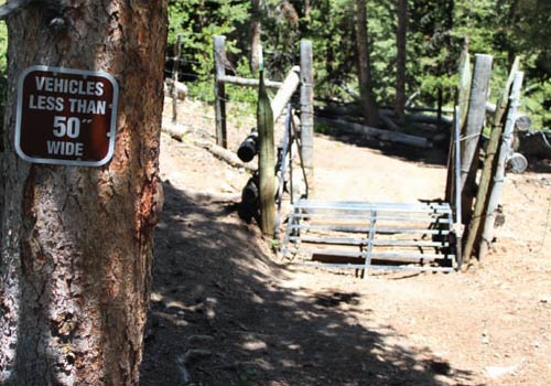
This trail is for ATV. Some areas have 50” restrictions.
DISTANCE
This trail is just under 11 miles long.
DIFFICULTY
EASY – This trail is relatively easy. Some parts of the trail are al little more difficult, but can be done.
TRAIL DESCRIPTION
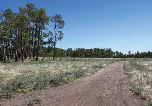
This trail is mostly a maintained dirt trail. Some parts of the path are more rocky than others, but can still be easily negotiated.
TRAIL COORDINATES / POINTS OF INTEREST
| Name | GPS | Latitude | Longitude |
| Forsyth Reservoir Staging Area | N 38d31’16” W 111d31’37” | 38.521111 | -111.526944 |
| Hwy 72 / Elkhorn Rd Junction Staging Area | N 38d30’37” W 111d31’27” | 38.510278 | -111.524167 |
| Riley Springs Staging Area | N 38d30’33” W 111d28’49” | 38.509167 | -111.480278 |
| Geyser Peak Trail / Elkhorn Rd Junction | N 38d30’44” W 111d28’33” | 38.512222 | -111.475833 |
| Dispersed Camping Areas | N 38d30’50” W 111d28’25” | 38.513889 | -111.473611 |
| Hwy 72 Summit Staging Area | N 38d34’53” W 111d28’43” | 38.581389 | -111.478611 |
EQUIPMENT
This trail has been designed for ATV’s only.
ENVIRONMENT
The weather is generally good, just be aware of it so you are prepared.
SAFETY
Be sure that your ATV is no wider than 50” because of some parts of the trails and their restrictions.
TRAIL TIP
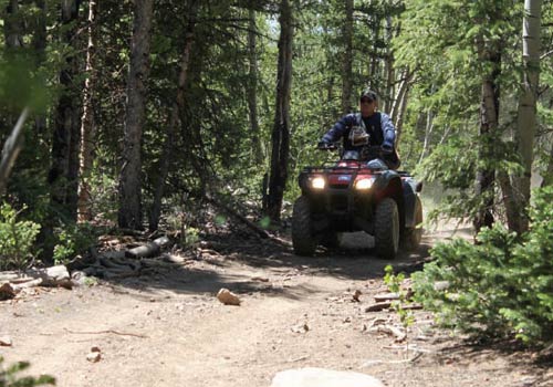
This is a good trail for younger riders and the perfect trail for a picnic! Take some time and enjoy the day!
| Title | Category | Address | Description | Link |
|---|
Take in the Views
As you bend to the north you pass several areas where you can enjoy views into the east of Cathedral Valley, and further northeast toward the San Rafael Swell. Views go east over the Dirty Devil River and Canyonlands National Park, as the Manti La Sal Mountains near Moab. The trail descends into a long scenic valley before ascending again and turning west to Highway 72.
Get a Closer Look
As you follow the road east below Geyser Peak and it will wrap north around the peak. On this trail you’ll pass through beautiful alpine forest areas of junipers, aspen, pine, and spruce.
Do it at Your Own Pace
TRAILS MASTER MAP
| Title | Category | Address | Description | Link |
|---|
Other Trail Pages
