

November 24, 2021

Originally developed as a cattle trail by stockman John Atlantic Burr, the Burr Trail Scenic Backway passes through three iconic parks starting at Boulder Utah to the north located on Highway 12 to Bullfrog Basin and Ticaboo Utah to the south on Highway 276. The route offers backcountry access to numerous trails and canyons through the painted rock desert of Glen Canyon National Recreation Area, Waterpocket Fold, Badlands of Capitol Reef National Park, and slickrock canyons of the Grand Staircase-Escalante National Monument.
The distance is approximately 75 miles from Boulder to Bullfrog. The first 30 miles are paved leading to the Capitol Reef border. From there the road turns to graded dirt and can be rather washboarded in sections. The last 20 mile stretch from the Springs/Bullfrog Basin junction to Hwy 276 is also paved.
A note from the BLM: Although in dry weather the Burr Trail is easily accessible to passenger cars, wet weather may make the road impassable even for 4WD vehicles. Check with rangers or local officials for weather and road conditions. Recreational vehicles are not recommended.

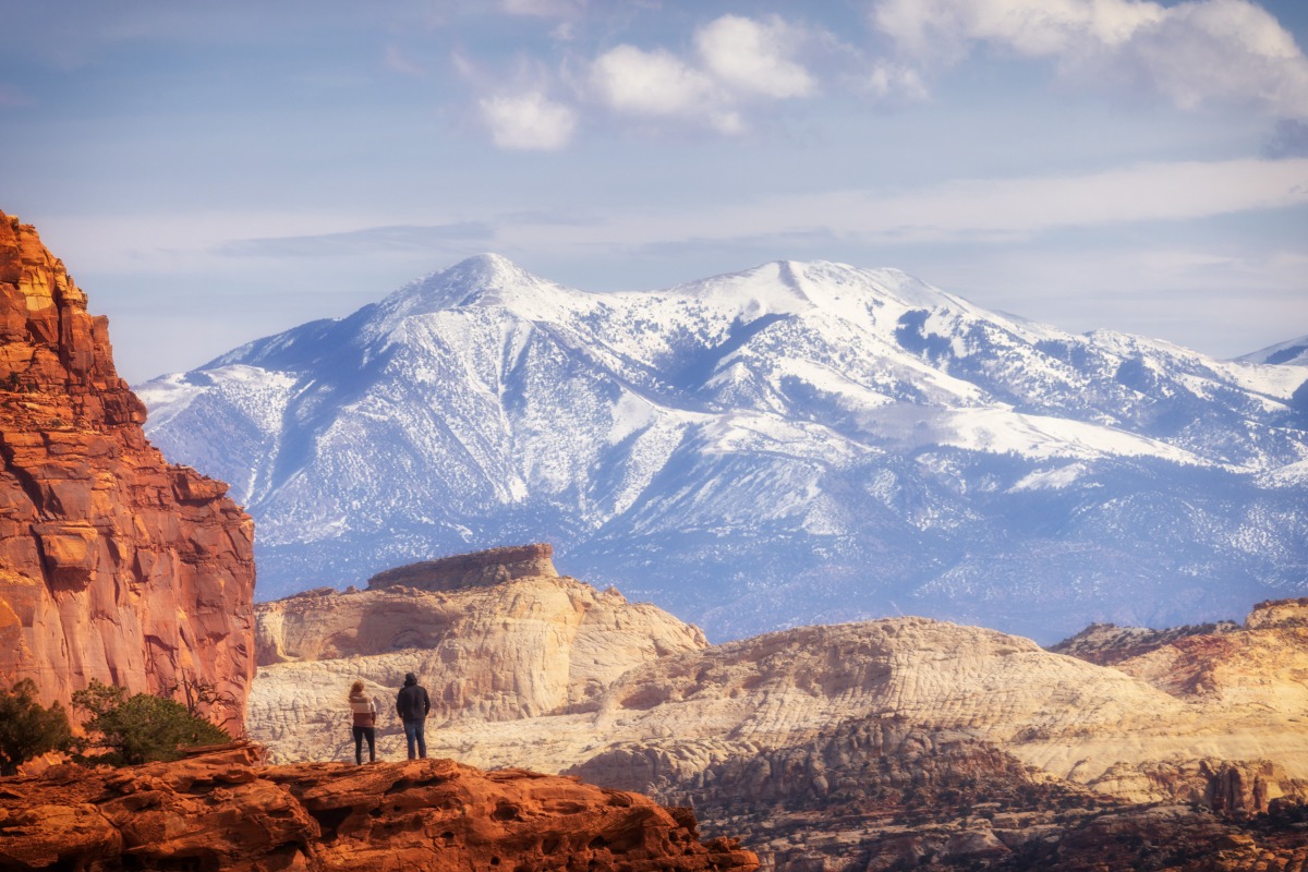
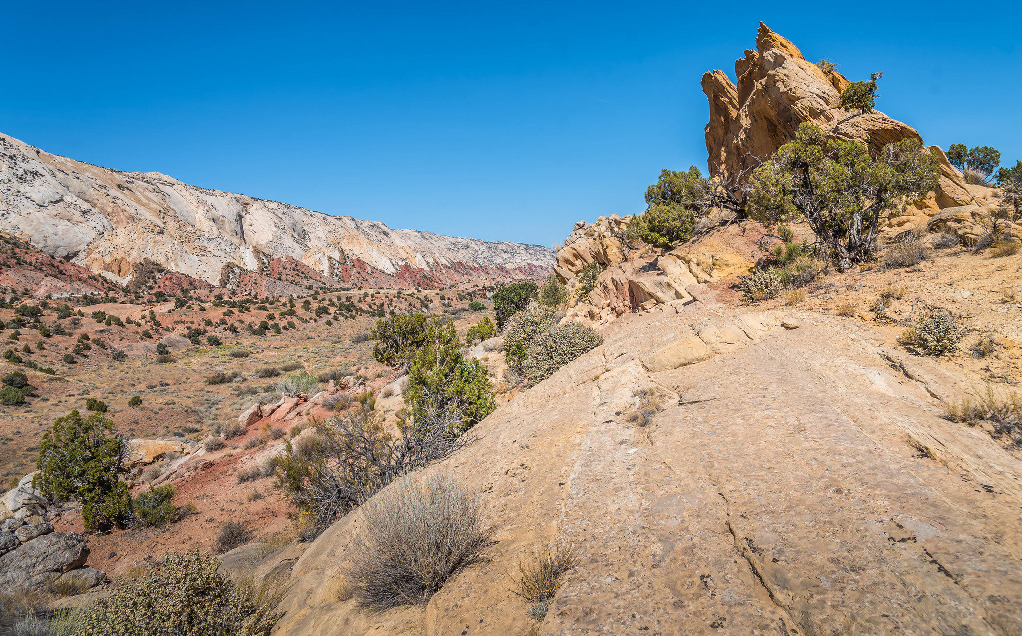
Upper Section The upper section (paved section) includes Long Canyon and its tributary slot canyon called “Singing Canyon”, Deer Creek campground, and endless views. Once you exit Long Canyon there is a wonderful panoramic view of the Waterpocket Fold and Circle Cliffs with the Henry Mountains looming in the background. Once you reach the Capitol Reef border the pavement ends and graded dirt begins. A short distance down the road from the Capitol Reef border, the Peek-A-Boo Arch at Upper Muley Twisted Canyon comes into view. The first half mile of the road that leads to this area is passable for passenger cars, then the road enters Upper Muley Twist Canyon and is recommended for 4WD vehicles only.

Burr Trail Switchbacks One of the highlights of the trip is the Burr Trail Switchbacks that descend down a series of tight switchback turns several hundred feet to the valley below. The view from the top offers vistas of the distant Henry Mountains, Waterpocket Fold and other surrounding landscapes, which is worth stopping to take it all in. A short distance past the bottom of the Switchbacks is a junction. This is where the Notom Road and Burr Trail meet. The Notom Road runs north from the junction parallel with the Waterpocket Fold passing through the small town of Notom where it connects a short distance later to SR-24 east of Capitol Reef. The junction is the half-way point to SR-276 and SR-24. From here Bullfrog is 33 miles to the south and 34 miles to the north to Hwy 24. This is the point where the Badlands begin.
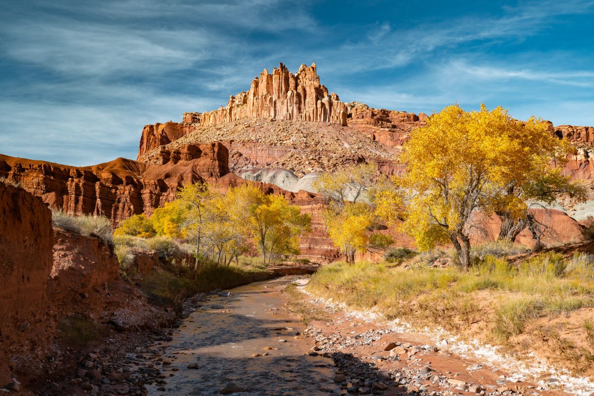
The Badlands The Badlands are made up primarily of Mancos Shale, Morrison Formation and Bentonite Clay hills. You see these formations on Hwy 24 from Hanksville to Capitol Reef. Factory Butte and the Caineville Mesas are good examples of Mancos Shale. The road in this section was formerly a washboarded graded dirt road, it would shake the fillings right out of your mouth! In recent years the road was paved linking it to the remaining paved section to SR-276.

The road continues southeast to a junction that connects to a route to Starr Spring, turn left (south) at the junction. From here the road connects with Utah State Hwy. 276 in less than 20 miles.
Along this final stretch views of Upper Bullfrog Bay and Upper Halls Creek Bay can be seen. Shortly down the road is the Glen Canyon National Recreation Area boundary.
Bullfrog Basin At approximately 5 miles from Bullfrog, there is a wash called Bullfrog Creek crossing. When Lake Powell is highl, water can fill the wash level with the road! After a rain, the wash can be wet and muddy. This could be the end of the trail if wet or full. Be sure to check on weather and lake conditions before leaving Boulder. The bigger concern is rain, the lake hasn’t been at “full-pool” in many years, and is currently at a historically low level.

Named after John Atlantic Burr, who was born in 1846 aboard the SS Brooklyn somewhere in the Atlantic Ocean. He and his family lived in Salt Lake City, then later moved south and established the town of Burrville, Utah, in 1876. John Burr soon developed a trail to move cattle back and forth between winter and summer ranges and to market. This cattle trail through the rough, nearly impassable country around the Waterpocket Fold, Burr Canyon, and Muley Twist Canyon came to be known as the Burr Trail.
Keep Capitol Reef Country Forever Mighty
What is Forever Mighty? It’s practicing responsible travel while visiting Utah and Capitol Reef Country by following the principles of Tread Lightly and Leave No Trace.
Plan ahead and prepare, travel and camp on durable surfaces, dispose of waste properly, leave what you find, minimize campfire impacts, respect wildlife, be considerate of others, support local business and honor community, history and heritage. Help us keep Utah and Capitol Reef Country’s outdoor recreation areas beautiful, healthy, and accessible.
Planning your trip?
Get access to all the info in one book.Keep Exploring
More Adventures
Winter in Capitol Reef Country: Quiet Roads and Open Space
Winter slips into Capitol Reef Country almost unnoticed, softening red...
Read Article
Traveling Safe and Prepared in Capitol Reef Country’s Backcountry
The backcountry areas of Capitol Reef National Park in Utah...
Read Article
Discover Off-Season Fall Wonders in Capitol Reef Country, Utah
Travelers who want to experience solitude and natural beauty in...
Read Article