

The Land of the
Sleeping RainbowWhether you seek the rustic charm of a cabin, the unique experience of a glamping tent, or the modern comforts of a hotel, Capitol Reef offers a diverse range of places to rest your head after a day of exploration.
VISIT
Capitol Reef National Park
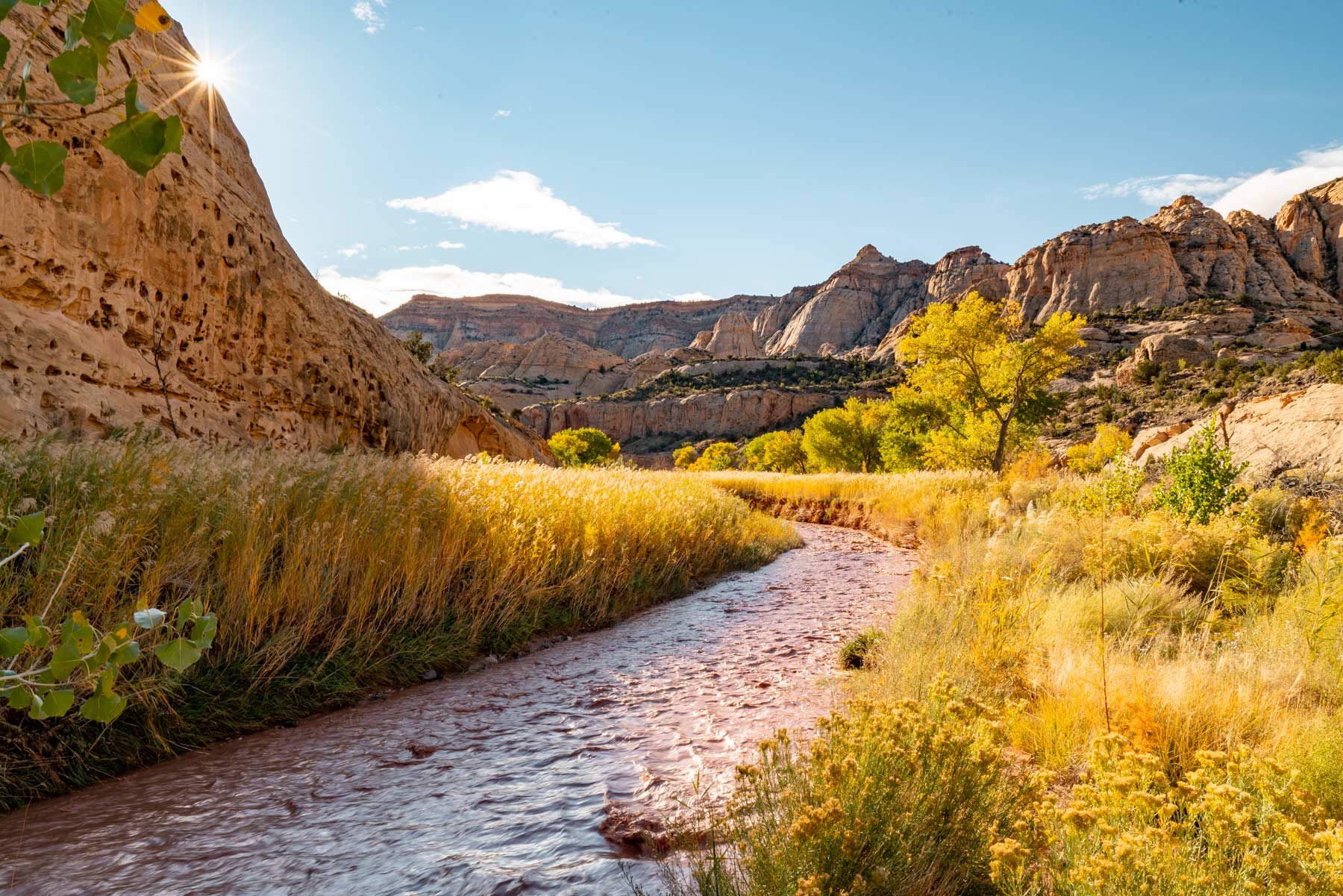
Capitol Reef National Park lies in Utah’s south-central desert, an oasis of colorful sandstone cliffs, impressive domes, and soaring monoliths. Once called “Wayne Wonderland,” the park got its name in part from the great white rock formations which resemble the U.S. Capitol building, and from the sheer cliffs that presented a barrier to early travelers. Early inhabitants referred to the area as the “land of the sleeping rainbow” because of its beautiful contrasts: multi-colored sandstone surrounded by verdant riverbanks and arid desert vegetation, all nestled beneath deep blue skies. The area was designated as a national monument in 1937 and reclassified as a national park in 1971. The park is open year-round. See the Capitol Reef National Park official map andtrailsfor more information.
Find Nearby Lodging
From Pioneer Orchards to Red Rock Arches
Pick a Pie
Then Pick a PathAccommodations
Sanctuaries
After Sunset
Whether you seek the rustic charm of a cabin, the unique experience of a glamping tent, or the modern comforts of a hotel, Capitol Reef offers a diverse range of places to rest your head after a day of exploration.
Modern Amenities
Stay connected, or disconnect completely
Pet Friendly Options
Bring your furry companion along
Find Lodging
Glamping
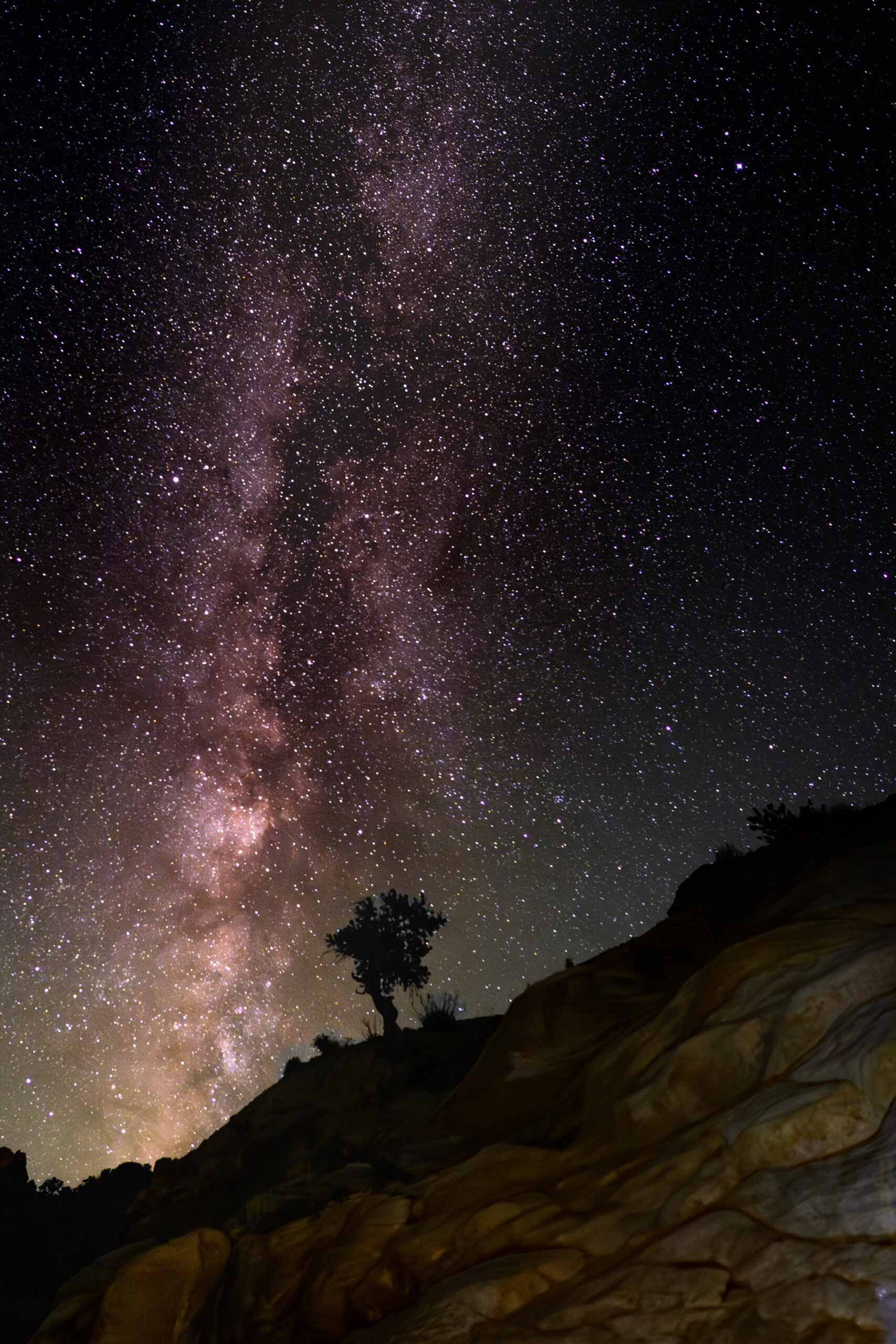
Sleep under the stars
Hotels & Lodges
Comfort Near the Reef
Accessing Capitol Reef National Park
The gateway town of Torrey is just eight miles west of Capitol Reef National Park’s visitor center, on Highway 24. The town offers lodging and restaurants, and easy access to the scenic wonders inside the park. Other neighboring communities on the west side of Capitol Reef, such as Grover, Teasdale, Bicknell, Lyman and Loa, also make great staging areas for exploration of this national park. Entering from Torrey offers a view of the Waterfold Pocket. Caineville and Hanksville are located on the east side of Capitol Reef, also on Highway 24, and both communities make great locations from which to view Capitol Reef or other nearby attractions such as Canyonlands National Park, Goblin Valley State Park and more.
ROADS
- From Torrey, Highway 24 continues east through the park, offering access to landmarks such as Chimney Rock, Capitol Dome, Hickman Bridge, the Fremont Petroglyphs, and Behunin Cabin.
- The 8-mile (one way) long Scenic Drive begins near the visitor center off Highway 24 and heads south past the Gifford Farmhouse and Fruita. Along Scenic Drive there are two spur roads which offer spectacular backcountry access.
- Grand Wash Road is a one-mile, well-maintained dirt road that leads to Cassidy Arch. Further south, the 2.5-mile roundtrip Capitol Gorge Road gives access to Capitol Gorge Trail, a one-mile stretch that leads to Pioneer Register.
- There are also hundreds of miles of unpaved roads leading into the backcountry, including the Cathedral Valley Loop, a 70-mile scenic drive through Cathedral Valley, which requires a high-clearance, four-wheel drive vehicle.
Safety First
Check Before
You Trek
Utah’s Capitol Reef National Park is filled with a diverse and stunning variety of landscapes and trails. Many trails offer variations and combinations, each with something special to offer. Be sure to check out our blog posts below that go into greater detail about many of these hikes and hiking in Capitol Reef National Park.
Blog
Read more about the area
Maps
Download offline PDFs
Capitol Reef Hikes
Check out each hike for more infoPoints of Interest
- Capitol Dome: A majestic white sandstone formation that resembles the U.S. Capitol building. The park was partly named for this landmark.
- Chimney Rock: A towering 400-foot-tall sandstone pillar, located three miles west of the visitor center off Highway 24 and accessible via a short hiking trail.
- Hickman Bridge: A huge natural arch spanning 133 feet wide and 125 feet tall. The arch is named after Joseph Hickman, an early advocate for Capitol Reef’s preservation.
- The Fremont Petroglyphs: These petroglyphs were etched in sandstone by the Fremont people who inhabited the area nearly 1,000 years ago and can be seen from the Hickman Bridge Trail.
- Pioneer Register: Early Mormon pioneers also left their mark in Capitol Reef, carving their names in sandstone at Pioneer Register to acknowledge their travels.
- Behunin Cabin: In 1882, Elijah Behunin built Behunin Cabin out of red sandstone to blend in with the surrounding landscape. The cabin remains can be seen just off of Highway 24 on the east side of the park. The historic Gifford Farmhouse, built in 1908, can be reached via a short path about a mile south of the visitor center.
- Fruita, Utah: The small town of Fruita inside the park has more than 2,500 fruit trees, some of which were originally planted by Mormon pioneers. Today the town is federally owned, and visitors can stroll through the orchards and eat fruit fresh off the trees.
- The Gifford Homestead: In the heart of the Fruita Valley, one mile south of the Capitol Reef National Park visitor center is the Gifford Homestead. Here you can have a picnic, observe wildlife (deer often hang around), visit farm animals, relax, explore, or try one of Fruita’s famous and incredibly delicious fruit pies. The Gifford House usually operates from Mid-march til early November. This shop offers a variety of local and handmade products: quilts, aprons, woven rugs, soap, candles, books, jams, sauces, and of course the fresh baked fruit pies and homemade ice cream.
- Cathedral Valley: A remote area in the northern end of the park where enormous monoliths soar hundreds of feet high.